Sneaking past Point Conception
Once we were to leave the safety of Morro Bay, there would be no other anchorage or marina until we rounded the infamous Point Conception. Yes, yet another point of the West Coast that tries to kill anyone passing by, and once again we would be passers by. Because of the reputation (and stories from others) we would choose an extremely timid time to make the journey into – finally – Southern California proper.
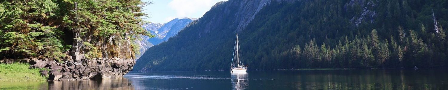
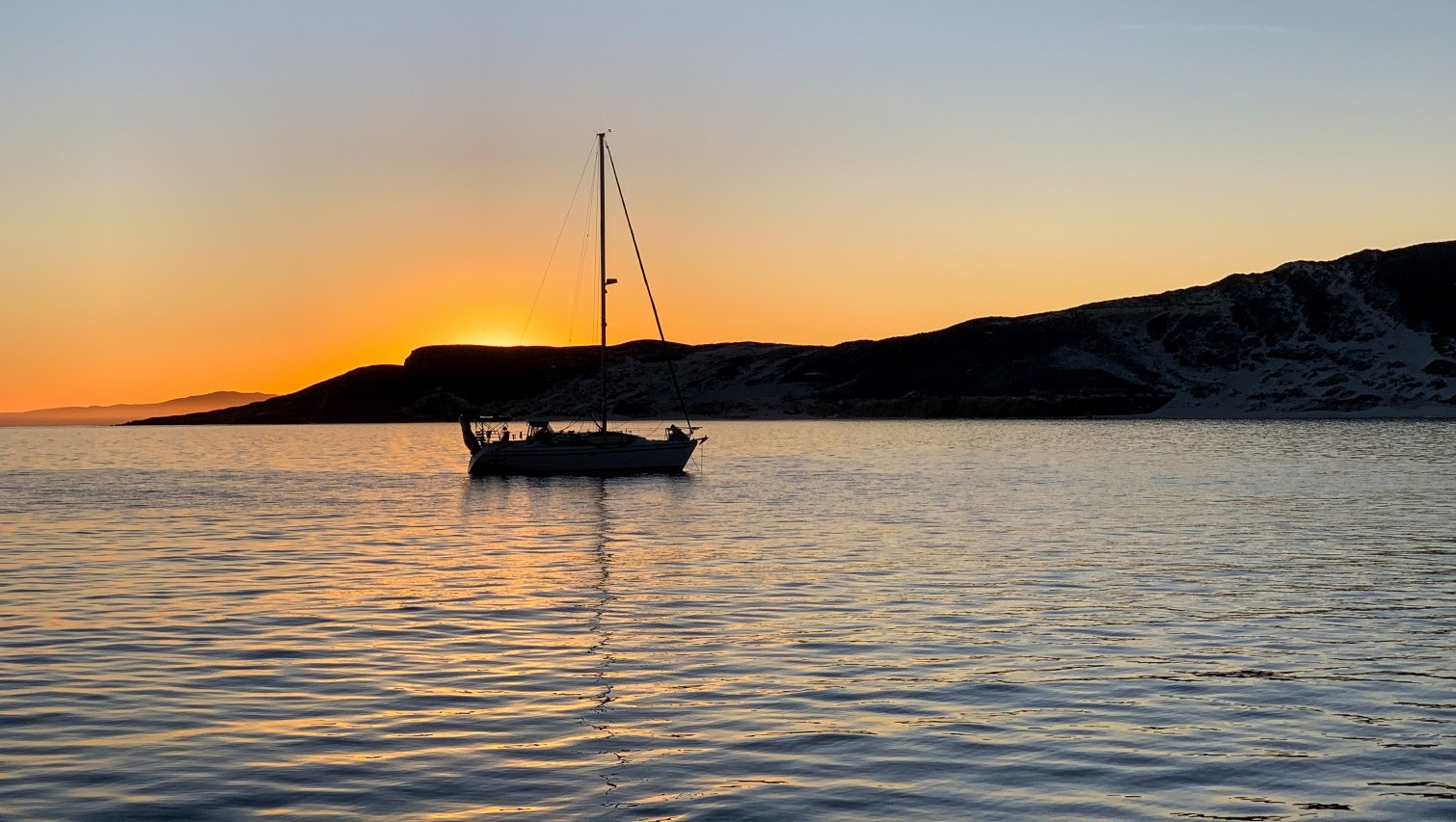
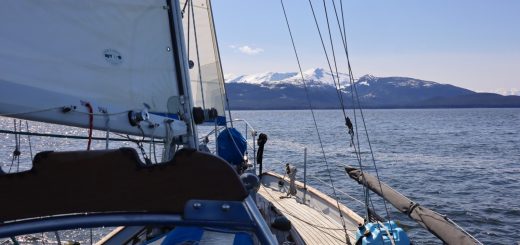
The day would begin first thing, at 9am. We were already moving out of Morro Bay, passing the huge rock, then the break walls, and back out into the open waters of the Pacific Ocean. The sails would be stretched out immediately upon entering open waters and for most of that day we would stay at sail in a gentle breeze. The wind would slowly decay as the sun sets, then we would sneak around Point Conception under motor – and in the darkness of night – and drop anchor on the first of the Channel Islands after sun rise after more then 21 hours at sea
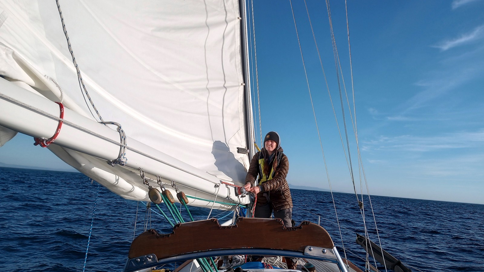
Kerri reefing down for the night
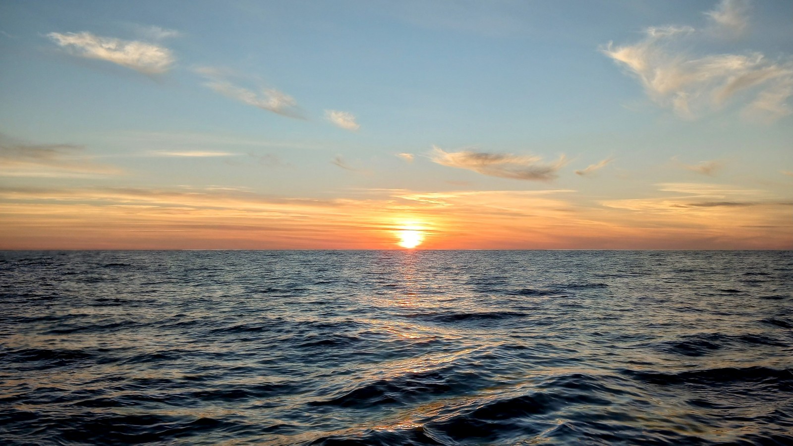
The last we would see of the sun for more then 14 hours
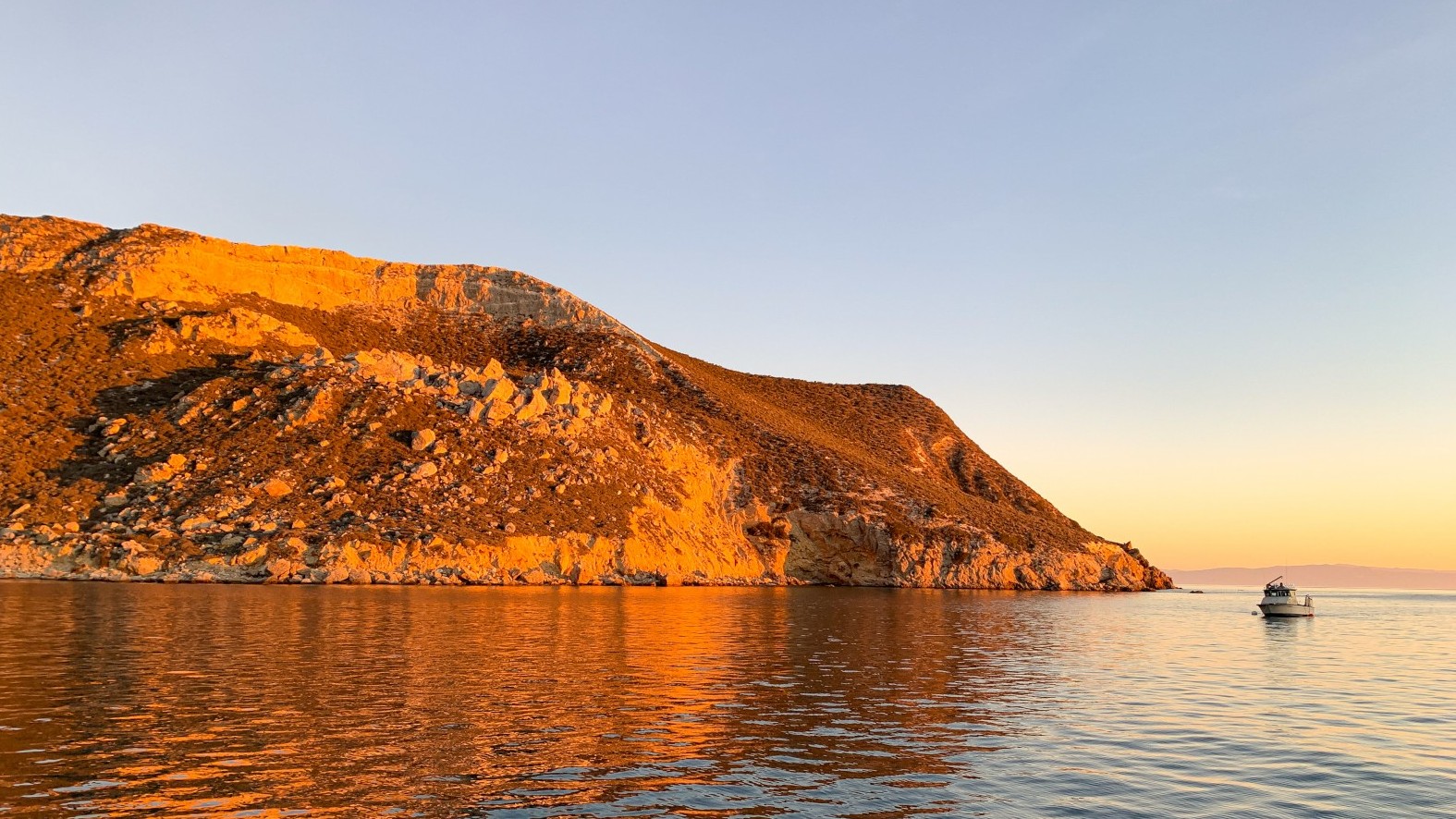
I am happy to report that the plan worked perfectly too. Point Conception seemed unaware of our passing and left us mostly alone. I do recall sleeping at the time when the water went from glassy to choppy as we rounded the point, but that was the extent of our weather. We arrive on San Miguel Island – the first of four Channel Islands we would visit – where we would drop the anchor and get straight to getting caught up on sleep. During this passage, we would surpass our 3000th mile navigated during this calendar year. That well and truly tromps on the 2021 record of 2200 miles, and we still aren’t done with 2022.
Today we’ll depart for a a little over a 24-hour passage around Point Conception to (probably) Santa Cruz Island. We were planning on leaving tomorrow, for the best chance of at least some wind before too much wind. But now it’s just looking like no wind forever, so we might as well just get going. To those of of you who follow our Predict Wind tracker: yes, it’s showing us still in Monterey (we’re currently in Morro Bay). Our Iridium Go! has been stuck in an infinite restarting/initializing loop for nearly a week that nothing fixes, and it also won’t factory reset. It’s only 1.5 years old and six months out of warranty, and our provider, @predict_wind has been indifferent in helping us find a solution, aside from referring us to a repair center that looks like it could add up to near-cost of a new unit. So there’s that. In the mean time, our AIS via Marin Traffic or the like should still give you occasional updates on our position. But we’ll still have cell for most of the way. – Kerri
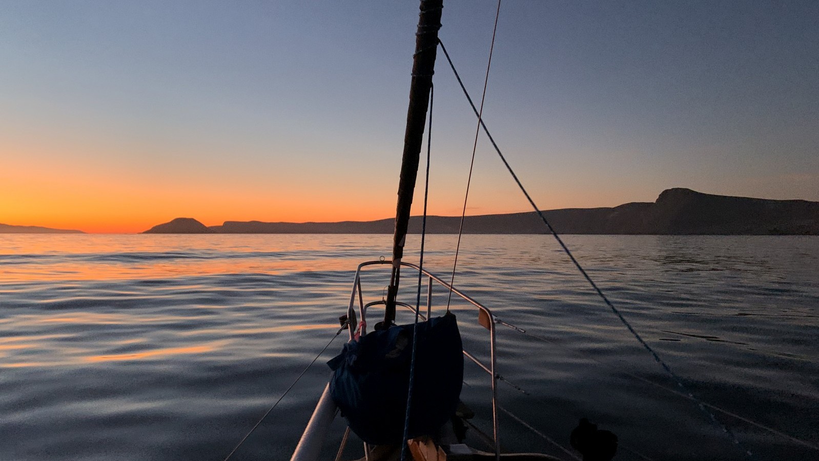
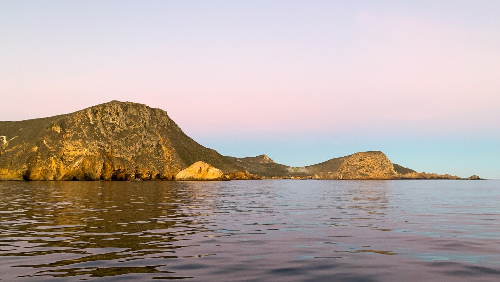
Sunrise as we approach San Miguel Island
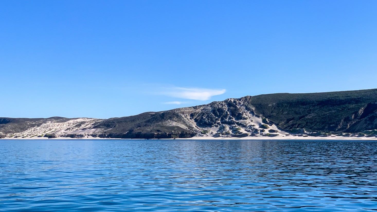
We would stay a couple nights at San Miguel Island, then move to Santa Rosa Island for a couple more. On both islands we considered going ashore, but the docks had already been raised out of the water by the National Park Service, leaving on a beach landing as our option… which really is not one. The swells come out of the West-North-West, leaving a pretty good sized breaking wave at the beaches. We played it safe, opting to wait for Santa Cruz Island to go ashore.
Made it to San Miguel Island, one of the Channel Islands, just after sunrise. We did manage to sail almost eight of the 21 hours it took to get here, which was more than we expected. This is my 49th National Park (second via Meriwether) and 133rd park unit in total (fifth via Meriwether). The water here is so green and clear. We’re in about 20 feet and can see the ocean floor and our anchor chain. It seems so inviting to swim in, but it’s still 56°, just like in the PNW! After pulling another overnighter, we napped until noon but still feel drowsy. I always feel hungover after a single-night overnight. – Kerri
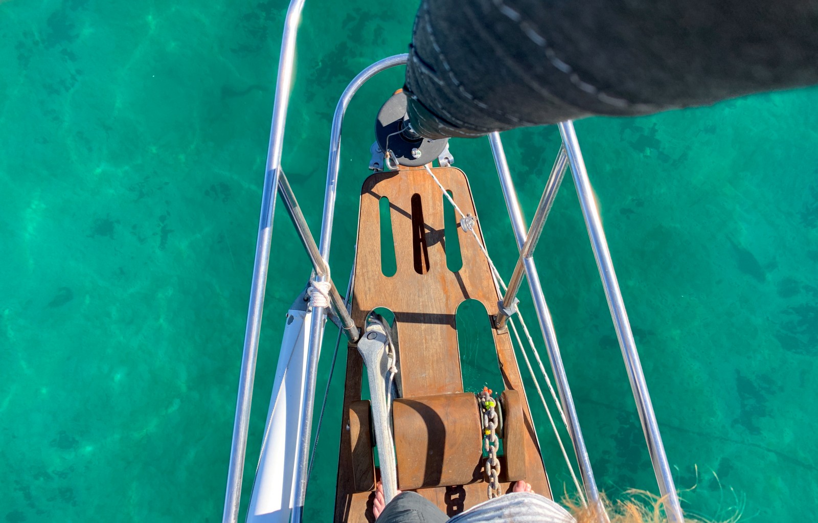
Nearly 40 feet deep, but crystal clear
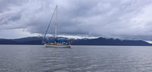
But, before we could visit Santa Cruz Island and front would move into the area, with gale force winds. There was only one bay that had any sort of protection from the wind direction, and it was mediocre at best. “Misery is optional”, said Kerri as we opted to get off the islands for a couple days while the weather blew past. Santa Barbara, 25 miles away, was the nearest port, so it was there that we headed. Interestingly, it was here that our sailing life began nearly four full years ago; we took our sailing lessons in Santa Barbara in Jan 2019. It was sorta nice to return, although this would also begin the “adventures” of dealing with government operated marinas. California’s government – be it at the state or city level – has always excelled in how inefficiently and expensively they can do the most basic of task, but more on that later.
Thanks for the update. Clear water but as you say still wet suit water, looks like the really warm water starts down at the end of Baja.
https://www.seatemperature.org/
Yea, in our trips down Baja in the van, we found that the water becomes tolerable as we near Todos Santos – a good two-thirds of the way down there.
Hello, did you ever find a solution to fix the Iridium Go? We have the exact same problem as you did.
Hi Ina.
We had to fight with Predict Wind to warranty the Iridium, which they eventually did after they realized we would not buy a new one, and they would lose our recurring subscription. It took a long time though, as they wanted the Iridium in their hands first to prove we didn’t somehow break it ourselves.